Vía Verde de Ojos Negros I
Map:
The Greenway begins and finishes: The Greenway begins:
Country: SpainRegion: ValenciaLocality: Algimia de AlfaraThe Greenway ends:
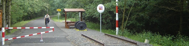
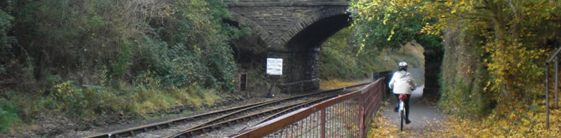
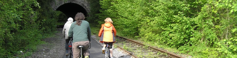
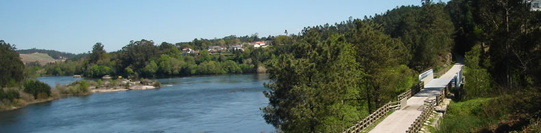
Country: SpainRegion: ValenciaLocality: BarracasDescription: Length : Surfaces : Users : GreenWay Management Authority: Organization name: Generalitat ValencianaAddress: Avda Blasco Ibañez 50Postcode: 46010City: ValenciaPhone: +34-963862444Web Address: www.gva.es Contact person: Complementary Information: A rural route through Alto Palancia. The Sierra Menera mining railway was never a very good idea: over 200 km of narrow gauge railway that ran practically parallel to another broad gauge line. In the 1960s the railway was closed down, and today the long furrow in which it ran provides a good opportunity to get to know the Alto Palancia, a rural area in the province of Castellón.Practical services: Rest area
Is a part of: Intermodality: Details: Crossed zones: Torres-Torres, Algimia de Alfara, Alfara de Algimia, Algar de Palancia, Sot de Ferrer, Soneja, SegorPoints of interest: Conjuntos monumentales de Segorbe y Jérica. Valle del Palancia, Sierra del Toro y Espadán. Huertos y bosque mediterráneo. Parc Natural de la Serra Calderona. Meseta de Barracas, altos del Ragudo.
Users comments:
La INFORMACION COMPLEMENTARIA correspondiente a la RUTA VERDE de OJOS NEGROS I está en inglés,pero no está ni en castellano ni en valenciano.
CARLOS DE LA TORRE MUÑOZ 28-07-2016 18:54