FR
EN
ES
HOME
|
SEARCH A GREENWAY
|
CONTACTS
Vía Verde de Ojos Negros II
Map:
The Greenway begins and finishes:
The Greenway begins:
Country:
Spain
Region:
Aragon
Locality:
Albentosa - Limíte provincial con Castellón
The Greenway ends:
Country:
Spain
Region:
Aragon
Locality:
Santa Eulalia (Teruel)
Description:
Length :
92 km
Surfaces :
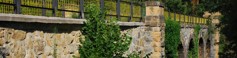
Hard and smooth
Users :
Pedestrian
Reduced mobility person
Bikes
Mountain bike
Horse riders
GreenWay Management Authority:
Organization name:
Gobierno de Aragón
Address:
Edificio Pignatelli. Pº María Agustín
Postcode:
50071
City:
Zaragoza
Phone:
+34-976715438
Email:
esierra@aragon.es
Web Address:
www.aragon.es
Contact person:
Eva Sierra
Complementary Information:
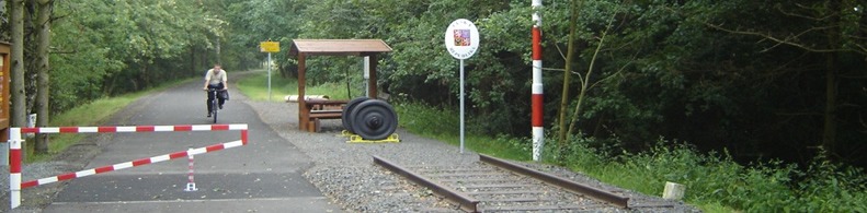
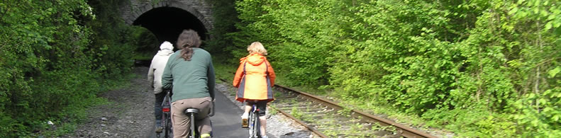
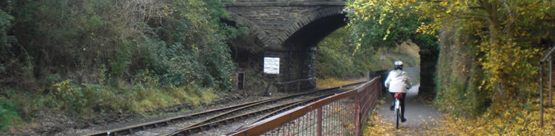
The province of Teruel is home to this Greenway running along the rail bed of the former Sierra Menera mining railway. It extends from the foothills of the Javalambre and Gúdar mountain ranges to the Jiloca valley, with plenty of surprises along the way.
Is a part of:
A non motorised path
A national network
Intermodality:
Train
Details:
Crossed zones:
Santa Eulalia, Cella, Caudé, Teruel, Tortajada, Valdecebro, La Puebla de Valverde, Sarrión,Albentosa
Points of interest:
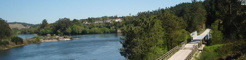
Cascos urbanos de Sarrión y La Puebla de Valverde. Conjunto monumental de Teruel, declarado Patrimonio de la Humanidad. Bosque mediterráneo: pinares, robledales y sabinares. Sierra del Toro, Javalambre y valles del Alfambra y Jiloca. Paisaje de cárcavas. Valle del Jiloca.
Add a comment
Name*:
Email*:
Write here your comment...
Anti-spam code*:
Back
Association Européenne des Voies Vertes | C/ Santa Isabel, 44 - E 28012 Madrid | Tél.: + 34 91 151 10 98