FR
EN
ES
HOME
|
SEARCH A GREENWAY
|
CONTACTS
Two Tunnels Greenway
Map:
The Greenway begins and finishes:
The Greenway begins:
Country:
United Kingdom
Region:
England
Locality:
Bellotts Road, Twerton, Bath
The Greenway ends:
Country:
United Kingdom
Region:
England
Locality:
Tucking Mill Lane, Midford, Bath
Description:
Length :
5,3 km
Surfaces :
Hard and smooth
Users :
Pedestrian
Reduced mobility person
Bikes
Mountain bike
Rollers
Remarks:
Two Tunnels Greenway has been awarded at the 6th European Greenways Award 2013 with the 3rd Prize in the “Exemplary Initiatives” Category
GreenWay Management Authority:
Organization name:
Sustrans Ltd.
Address:
Sustrans, National Cycle Network Centre, 2 Cathedral Square,College Green
Postcode:
BS1 5DD
City:
Bristol
Phone:
+44-1179150574
Fax:
+44-1179294173
Email:
info@sustrans.org.uk
Web Address:
http://www.sustrans.org.uk
Contact person:
Jon Usher
Tourist Information Authority:
Organization name:
Complementary Information:
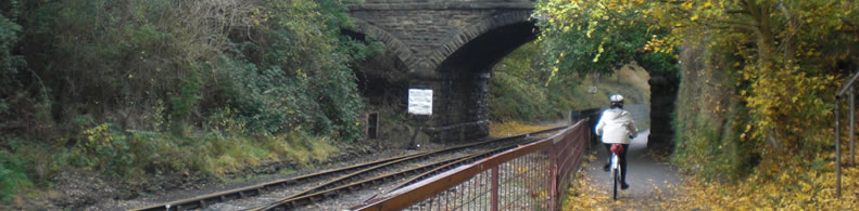
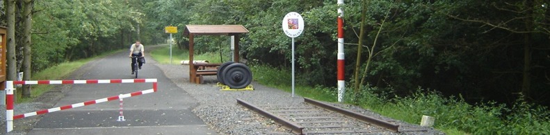
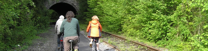
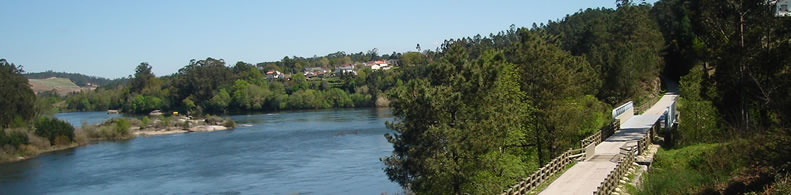
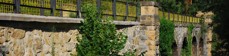
The Two Tunnels Greenway is a new route that connects the city of Bath to the village of Midford and the countryside to the south. The route is built on a disused railway line, and passes through the UK’s longest walking and cycling tunnel Combe Down Tunnel, which is an attraction itself, with light and sound art installation. As well as being a route for commuting and leisure, the greenway also creates a linear green open space, right in the city centre.
Practical services:
Rest area
Pubs
Restaurants
Hotels
Toilet and Sanitary facilities
Bicycle parking area
Information points
Is a part of:
A non motorised path
A national network
A regional network
Intermodality:
Train
Bus
Car park relay
Details:
Crossed zones:
East Twerton, South Twerton, Oldfield Park, Bloomfield, Bear Flat, Lyncombe Vale, TuckingMill, Midford.
Width:
3 m
Average slope:
2%
Add a comment
Name*:
Email*:
Write here your comment...
Anti-spam code*:
Back
Association Européenne des Voies Vertes | C/ Santa Isabel, 44 - E 28012 Madrid | Tél.: + 34 91 151 10 98