FR
EN
ES
HOME
|
SEARCH A GREENWAY
|
CONTACTS
Vía Verde del Tajuña
Map:
The Greenway begins and finishes:
The Greenway begins:
Country:
Spain
Region:
Madrid
Locality:
Arganda del Rey
The Greenway ends:
Country:
Spain
Region:
Madrid
Locality:
Ambite
Description:
Length :
49 km
Surfaces :
Hard and smooth
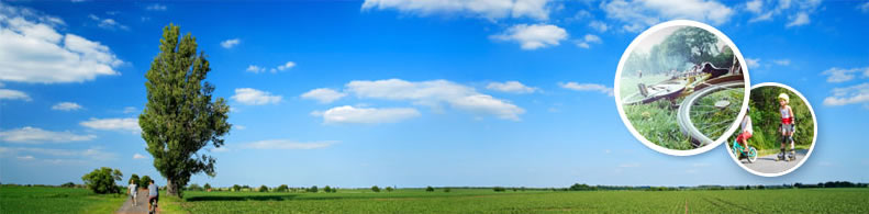
Users :
Pedestrian
Reduced mobility person
Bikes
Mountain bike
Cross Country skier
GreenWay Management Authority:
Organization name:
Comunidad de Madrid
Address:
C/ Orense, 60
Postcode:
28020
City:
Madrid
Phone:
+34-915802818
Web Address:
www.madrid.org
Contact person:
Belén de Diego, belen.dediego@madrid.org
Complementary Information:
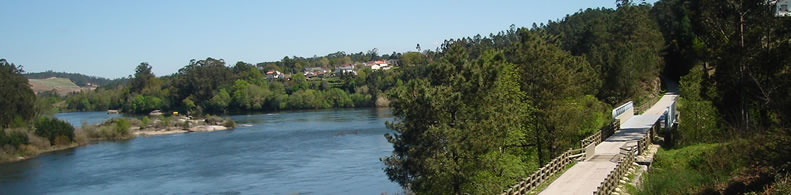
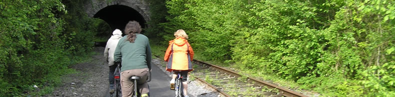
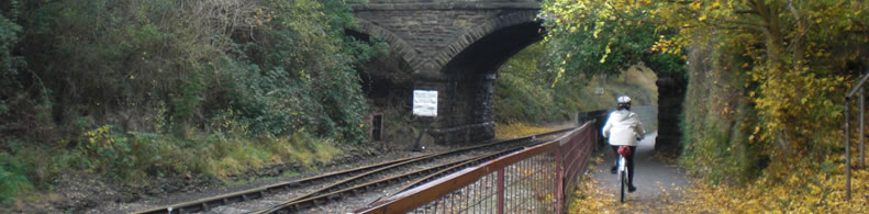
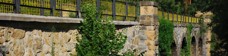
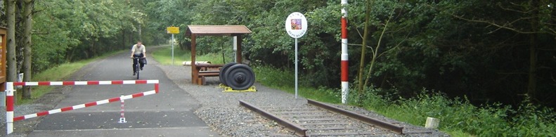
The Greenway, which runs along the river of the same name in the Community of Madrid by a pleasant landscape of meadows, is very easy to follow, because all she has a strong distinctive red asphalt. This crucial clue that will bring people with rich traditions, we will not miss reference for the entire route.
Practical services:
Rest area
Is a part of:
A non motorised path
A national network
Intermodality:
Bus
Details:
Crossed zones:
Arganda del Rey, Morata de Tajuña, Perales de Tajuña, Tielmes, Carabaña, Orusco, Ambite.
Points of interest:
Iglesias de los pueblos. Restos del Castillo de Perales. Restos trogloditas. Palacio de Ambite. Museo del Ferrocarril de Arganda (La Poveda). Valle del Tajuña. LIC de las vegas, cuestas y páramos del Sureste. Parque Regional de los ejes de los cursos bajos de los ríos Manzanares y Jarama.
Add a comment
Name*:
Email*:
Write here your comment...
Anti-spam code*:
Back
Association Européenne des Voies Vertes | C/ Santa Isabel, 44 - E 28012 Madrid | Tél.: + 34 91 151 10 98