FR
EN
ES
HOME
|
SEARCH A GREENWAY
|
CONTACTS
Vía Verde de Arrazola
Map:
The Greenway begins and finishes:
The Greenway begins:
Country:
Spain
Region:
Basque Country
Locality:
Apatamonasterio
The Greenway ends:
Country:
Spain
Region:
Basque Country
Locality:
Atxondo - Arrazola
Description:
Length :
5 km
Surfaces :
Hard and smooth
Users :
Pedestrian
Reduced mobility person
GreenWay Management Authority:
Organization name:
Consorcio de Turismo Rural Durangaldea
Address:
C/ Berriotxoa, 13
Postcode:
48230
City:
Elorrio
Phone:
+34-946820164
Fax:
+34-946820626
Email:
infoturismo@durangaldea.com / infoconsorcio@durangaldea.com
Web Address:
www.durangaldea.com
Complementary Information:
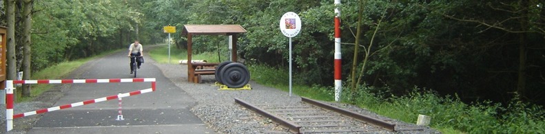
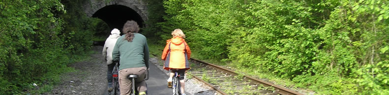
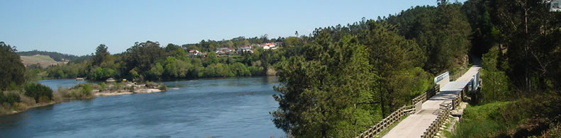
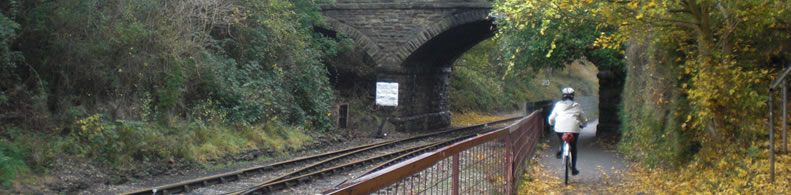
At the foot of the fabled Anboto Peak. The old mining train of Arrazola, with the steam locomotive Aurrera at its head, used to travel down the tranquil water meadows of the river Arrazola to the town of Apatamonasterio. Today the Greenway allows us to walk the beautiful Vizcayan Atxondo valley from north to south and arrive at the foot of the Anboto Peak, the highest peak of the mountainous Urkiola Natural Park, fabled home of Mari, the ancestral goddess of the Basque people.
Practical services:
Rest area
Is a part of:
A non motorised path
A national network
Intermodality:
Bus
Details:
Crossed zones:
Apatamonasterio, Marzana, Santiago, Errotabarri-El Tope
Points of interest:
Barrio de Marzana. Núcleos urbanos de Arrazola, Axpe y Apatamonasterio. Restosmineros. Estación de ferrocarril de Apatamonasterio. Dispersos molinos, caseríos y ermitas. Valle del río Arrazola y municipio de Atxondo.Cumbre del Anboto. Parque Natural de Urkiola. Cumbres del Memaia. Valle de Axpe.
Add a comment
Name*:
Email*:
Write here your comment...
Anti-spam code*:
Back
Association Européenne des Voies Vertes | C/ Santa Isabel, 44 - E 28012 Madrid | Tél.: + 34 91 151 10 98