FR
EN
ES
ACCUEIL
|
RECHERCHER UNE VOIE VERTE
|
CONTACT
Vía Verde de Arrazola
Carte:
Localité:
La Voie Verte commence:
Pays:
Espagne
Région:
Pays Basque
Localité:
Apatamonasterio
La Voie Verte se termine:
Pays:
Espagne
Région:
Pays Basque
Localité:
Atxondo - Arrazola
Description:
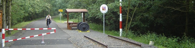
Longueur :
5 km
Revêtement :
Dur et lisse (asphalte, béton, enrobé)
Usagers :
Piétons
Personnes à mobilité réduite
Organisme de gestion de la voie verte :
Nom de l'organisme:
Consorcio de Turismo Rural Durangaldea
Addresse:
C/ Berriotxoa, 13
Code postal:
48230
Localité:
Elorrio
Téléphone:
+34-946820164
Fax:
+34-946820626
E-mail:
infoturismo@durangaldea.com / infoconsorcio@durangaldea.com
Site internet:
www.durangaldea.com
Informations complémentaires:
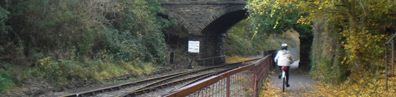
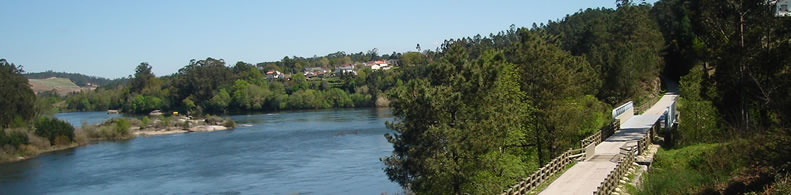
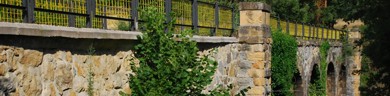
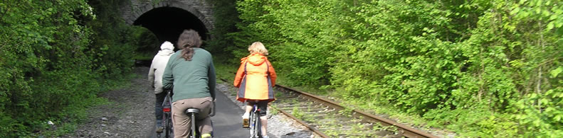
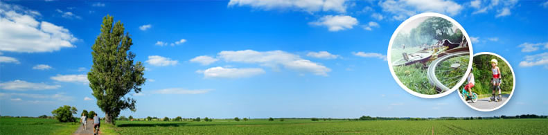
At the foot of the fabled Anboto Peak. The old mining train of Arrazola, with the steam locomotive Aurrera at its head, used to travel down the tranquil water meadows of the river Arrazola to the town of Apatamonasterio. Today the Greenway allows us to walk the beautiful Vizcayan Atxondo valley from north to south and arrive at the foot of the Anboto Peak, the highest peak of the mountainous Urkiola Natural Park, fabled home of Mari, the ancestral goddess of the Basque people.
Services pratiques:
Aires de repos
Appartient à:
Un itiniréaire non motorisé
Un réseau national
Intermodalité:
Bus
Détails:
Zones traversées:
Apatamonasterio, Marzana, Santiago, Errotabarri-El Tope
Points d'intérêt :
Barrio de Marzana. Núcleos urbanos de Arrazola, Axpe y Apatamonasterio. Restosmineros. Estación de ferrocarril de Apatamonasterio. Dispersos molinos, caseríos y ermitas. Valle del río Arrazola y municipio de Atxondo.Cumbre del Anboto. Parque Natural de Urkiola. Cumbres del Memaia. Valle de Axpe.
Ajouter un commentaire
Nom*:
E-mail*:
Écrivez ici votre commentaire...
Code anti-spam*:
Retour
Association Européenne des Voies Vertes | C/ Santa Isabel, 44 - E 28012 Madrid | Tél.: + 34 91 151 10 98