FR
EN
ES
HOME
|
SEARCH A GREENWAY
|
CONTACTS
Ecopista do Dão
Map:
The Greenway begins and finishes:
The Greenway begins:
Country:
Portugal
Region:
Center
Locality:
Viseu - Viseu
The Greenway ends:
Country:
Portugal
Region:
Center
Locality:
Santa Comba Dão - Vimieiro
Description:
Length :
49 km
Surfaces :
Hard and smooth
Users :
Pedestrian
Reduced mobility person
Bikes
Mountain bike
Rollers
Complementary Information:
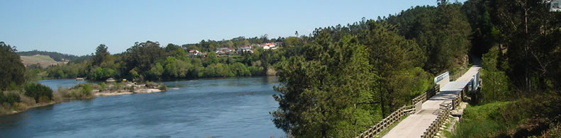
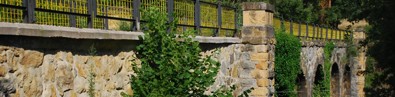
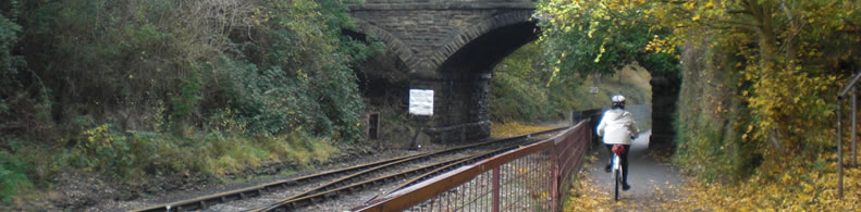
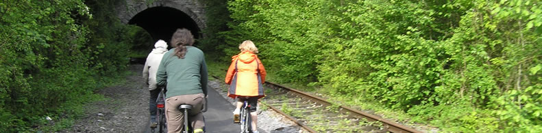
The Ecopista do Dão develops along the former railway branch of the Dão, in a distance of 49,2 Kms and passes through the municipalities of Viseu, Tondela and Santa Comba Dão. The unparalled scenic and landscape framework, following the valley of the Dão makes the route of the greenway quite engaging with several landscapes that pass through the forest, the vineyard areas of intensive cultivation, crossing even some urban areas. Local climatic conditions favor the enjoyment of the greenway in comfort and safety throughout the year. Despite being embedded in a region of steep slopes and important mountains, such as Caramulo, the development of the greenway along the Dão River valley is far less bumpy, verifying an average slope of 0.5%.
Practical services:
Picnic area
Toilet and Sanitary facilities
Bicycle rental
Is a part of:
A non motorised path
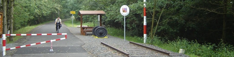
Intermodality:
Train
Bus
Car park relay
Details:
Crossed zones:
Viseu, Tondela and Santa Comba Dão
Width:
3 m
Average slope:
0,5%
Phones of the emergency services:
112
Add a comment
Name*:
Email*:
Write here your comment...
Anti-spam code*:
Back
Association Européenne des Voies Vertes | C/ Santa Isabel, 44 - E 28012 Madrid | Tél.: + 34 91 151 10 98