FR
EN
ES
ACCUEIL
|
RECHERCHER UNE VOIE VERTE
|
CONTACT
Ecopista do Dão
Carte:
Localité:
La Voie Verte commence:
Pays:
Portugal
Région:
Centre
Localité:
Viseu - Viseu
La Voie Verte se termine:
Pays:
Portugal
Région:
Centre
Localité:
Santa Comba Dão - Vimieiro
Description:
Longueur :
49 km
Revêtement :
Dur et lisse (asphalte, béton, enrobé)
Usagers :
Piétons
Personnes à mobilité réduite
Vélos
Vélos tout terrain
Rollers
Informations complémentaires:
Ce texte est actuellement uniquement disponible dans sa langue originale.
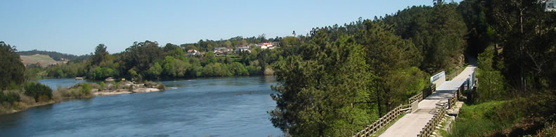
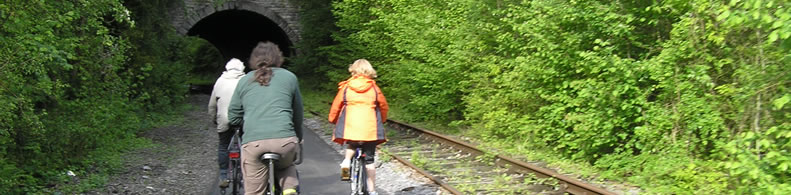
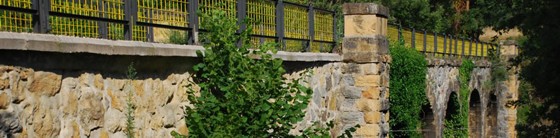
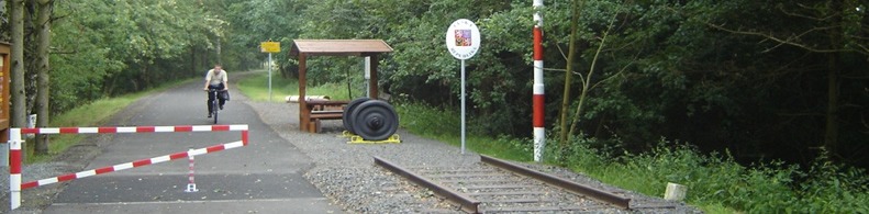
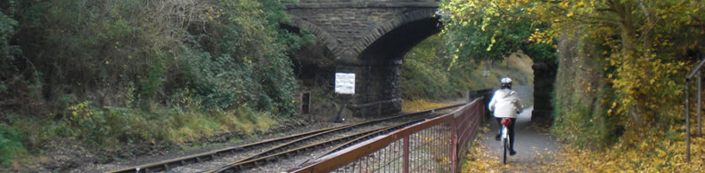
The Ecopista do Dão develops along the former railway branch of the Dão, in a distance of 49,2 Kms and passes through the municipalities of Viseu, Tondela and Santa Comba Dão. The unparalled scenic and landscape framework, following the valley of the Dão makes the route of the greenway quite engaging with several landscapes that pass through the forest, the vineyard areas of intensive cultivation, crossing even some urban areas. Local climatic conditions favor the enjoyment of the greenway in comfort and safety throughout the year. Despite being embedded in a region of steep slopes and important mountains, such as Caramulo, the development of the greenway along the Dão River valley is far less bumpy, verifying an average slope of 0.5%.
Services pratiques:
Aires de pique-nique
Sanitaires
Locations de vélos
Appartient à:
Un itiniréaire non motorisé
Intermodalité:
Train
Bus
Parking relais
Détails:
Zones traversées:
Viseu, Tondela and Santa Comba Dão
Largeur:
3 m
Pente moyenne:
0,5%
Numéros de services d'urgence:
112
Ajouter un commentaire
Nom*:
E-mail*:
Écrivez ici votre commentaire...
Code anti-spam*:
Retour
Association Européenne des Voies Vertes | C/ Santa Isabel, 44 - E 28012 Madrid | Tél.: + 34 91 151 10 98