FR
EN
ES
HOME
|
SEARCH A GREENWAY
|
CONTACTS
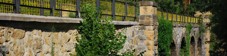
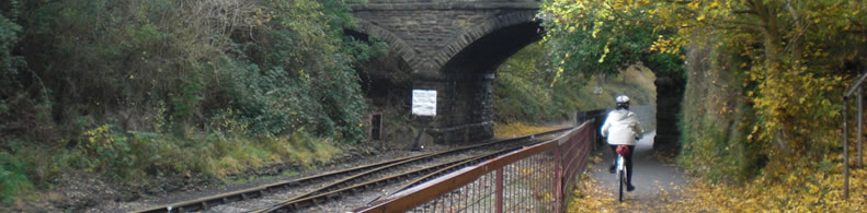
Camel Trail
The Greenway begins and finishes:
The Greenway begins:
Country:
United Kingdom
Region:
England
Locality:
Padstow - Treverbyn Road
The Greenway ends:
Country:
United Kingdom
Region:
England
Locality:
Wenford Bridge - Wenford Bridge
Description:
Length :
27 km
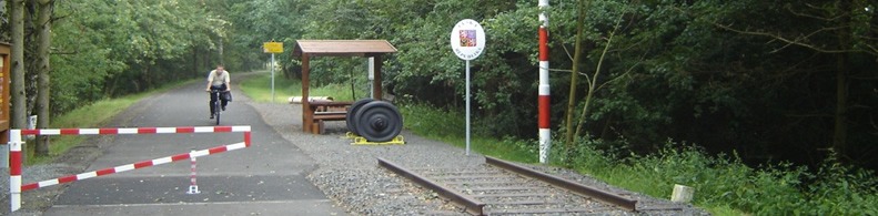
Surfaces :
Gravelled road
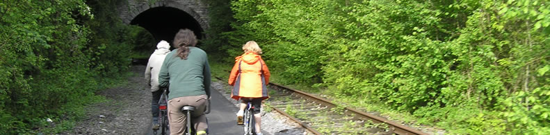
Users :
Pedestrian
Reduced mobility person
Bikes
Horse riders
GreenWay Management Authority:
Organization name:
Sustrans
Address:
2 Cathedral Square
Postcode:
BS1 5DD
Phone:
+11-79150113
Email:
info@sustrans.org.uk
Web Address:
www.sustrans.org.uk
Complementary Information:
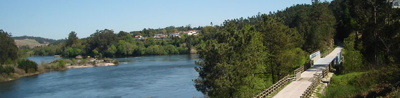
The Camel Trail stays close to the river during its journey from Bodmin Moor to the sea. If you travel upstream from Poley's Bridge you can reach Camelford by footpath. Just below Poley's Bridge take the hill up to Blisland and then out onto the expanses of Bodmin Moor, different scenery, flora and fauna. The Camel River always has a presence with the trail and if you pause to look you will find idyllic spots, images of light and shade from the river and the surrounding woodland and forestry. This is the quietest part of the trail. You should not hear road traffic noise until you cross the main road at Dunmere. Out of the summer season it can be nearly "lonely"! It offers a unique opportunity to achieve solitude.
Practical services:
Rest area
Picnic area
Pubs
Restaurants
Hotels
Camping sites
Toilet and Sanitary facilities
Bicycle rental
Bicycle parking area
Information points
Is a part of:
A non motorised path
A national network
A regional network
Intermodality:
Train
Bus
Add a comment
Name*:
Email*:
Write here your comment...
Anti-spam code*:
Back
Association Européenne des Voies Vertes | C/ Santa Isabel, 44 - E 28012 Madrid | Tél.: + 34 91 151 10 98