FR
EN
ES
HOME
|
BÚSQUEDA DE VÍA VERDE
|
CONTACTO
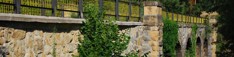
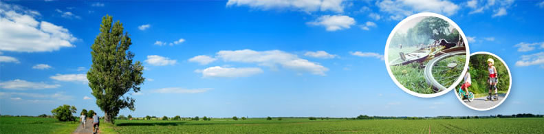
Camel Trail
Ubicación:
La Vía Verde se inicia:
País:
Reino Unido
Región:
Inglaterra
Localidad:
Padstow - Treverbyn Road
La Vía Verde termina:
País:
Reino Unido
Región:
Inglaterra
Localidad:
Wenford Bridge - Wenford Bridge
Descriptivo :
Longitud :
27 km
Tipo de firmes :
Gravilla
Usuarios :
Peatones
Personas con movilidad reducida
Bicicletas
Jinetes
Organismo de gestión de la vía verde:
Nombre de la organización:
Sustrans
Dirección:
2 Cathedral Square
Código postal:
BS1 5DD
Teléfono:
+11-79150113
Email:
info@sustrans.org.uk
Sitio web:
www.sustrans.org.uk
Información complementaria:
Este texto sólo está disponible en su idioma original.
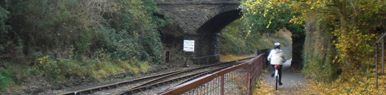
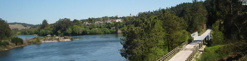
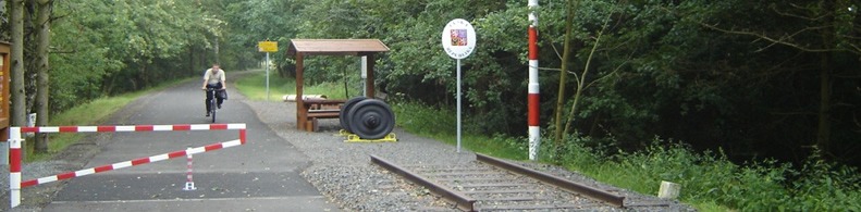
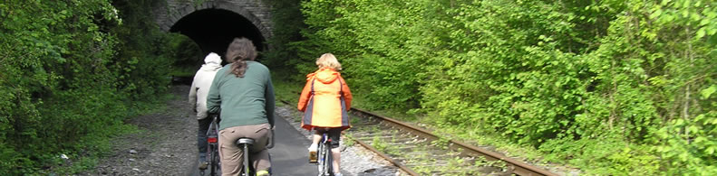
The Camel Trail stays close to the river during its journey from Bodmin Moor to the sea. If you travel upstream from Poley's Bridge you can reach Camelford by footpath. Just below Poley's Bridge take the hill up to Blisland and then out onto the expanses of Bodmin Moor, different scenery, flora and fauna. The Camel River always has a presence with the trail and if you pause to look you will find idyllic spots, images of light and shade from the river and the surrounding woodland and forestry. This is the quietest part of the trail. You should not hear road traffic noise until you cross the main road at Dunmere. Out of the summer season it can be nearly "lonely"! It offers a unique opportunity to achieve solitude.
Servicios prácticos:
Áreas de descanso
Áreas de picnic
Bares
Restaurantes
Hoteles
Cámpings
Sanitarios
Alquiler de bicicletas
Aparcamiento para bicicletas
Puntos de información
Pertenece a:
Un itinerario no motorizado
Una red nacional
Una red regional
Intermodalidad:
Tren
Autobús
Añadir un comentario
Nombre*:
Email*:
Escribe tu comentario aquí...
Código anti-spam*:
Vuelta
Association Européenne des Voies Vertes | C/ Santa Isabel, 44 - E 28012 Madrid | Tél.: + 34 91 151 10 98