FR
EN
ES
ACCUEIL
|
RECHERCHER UNE VOIE VERTE
|
CONTACT
Vía Verde Xurra
Carte:
Localité:
La Voie Verte commence:
Pays:
Espagne
Région:
Valence
Localité:
Valencia
La Voie Verte se termine:
Pays:
Espagne
Région:
Valence
Localité:
Puçol
Description:
Longueur :
15 km
Revêtement :
Dur et lisse (asphalte, béton, enrobé)
Usagers :
Piétons
Personnes à mobilité réduite
Vélos
Vélos tout terrain
Organisme de gestion de la voie verte :
Nom de l'organisme:
Generalitat Valenciana
Addresse:
Avda Blasco Ibañez 50
Code postal:
46010
Localité:
Valencia
Téléphone:
+34-963862444
Site internet:
www.gva.es
Personne de contact:
Luis Llorens, llorens_luisan@gva.es
Informations complémentaires:
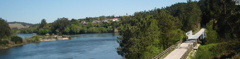
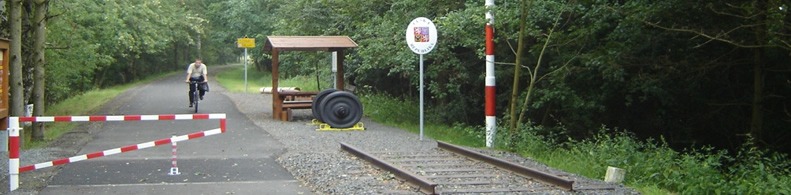
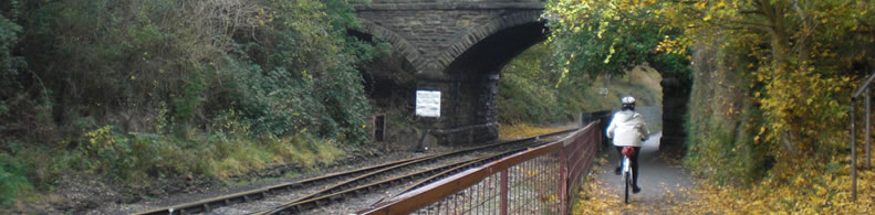
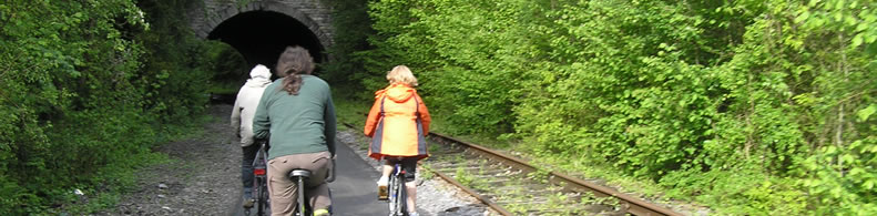
A Greenway among orange groves on the outskirts of Valencia. The rural district of L’Horta Nord in the province of Valencia is crossed by two railway lines that start in Valencia: the Ferrocarrils de la Generalitat Valenciana (FGV) which goes as far as Rafelbunyol, and the Renfe line that finishes in Barcelona. But there used to be a third line which swept through L’Horta Nord in a dead straight line but was dismantled long ago. A Greenway has reclaimed part of this route that runs amid orange orchards.
Appartient à:
Un itiniréaire non motorisé
Un réseau national
Intermodalité:
Train
Tram
Détails:
Zones traversées:
Valencia, Alboraia, Meliana, Albalat, Massamagrell, Pobla de Farnals y Puçol
Points d'intérêt :
Conjunto histórico de Valencia. Huertas de naranjos. Red de acequias. Monasterio de El Puig. Huertas de Naranjos.
Ajouter un commentaire
Nom*:
E-mail*:
Écrivez ici votre commentaire...
Code anti-spam*:
Retour
Association Européenne des Voies Vertes | C/ Santa Isabel, 44 - E 28012 Madrid | Tél.: + 34 91 151 10 98